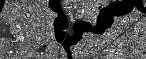
Imagine Panaji Smart City Development (IPSCDL) plans to prepare a GIS-based masterplan for Panaji using high-resolution satellite imagery provided by the National Remote Sensing Centre (NRSC), Hyderabad. This masterplan will be under the Atal Mission for Rejuvenation and Urban Transformation (AMRUT). The plan will geo-tag buildings and all structures in the capital including bridges, infrastructure and open spaces.
Panaji is one of the 25 cities chosen by the Union Ministry of Housing and Urban Affairs (MoHUA) as part of the first round. The Centre is keen on preparing the GIS-based masterplan for 500 cities in the country.
Formulation of masterplan starts with base map preparation, existing land use surveys and collection of socio-economic data necessary for reviewing the existing situation and proposing the future land use plan.
The State Government has already formed a consultancy evaluation and review committee (CERC). According to sources, MoHUA has released the first instalment of Rs 23.7 lakh to IPSCDL under the sub-scheme on formulation of the local area plan (LAP) and town planning scheme (TPS) under AMRUT.


